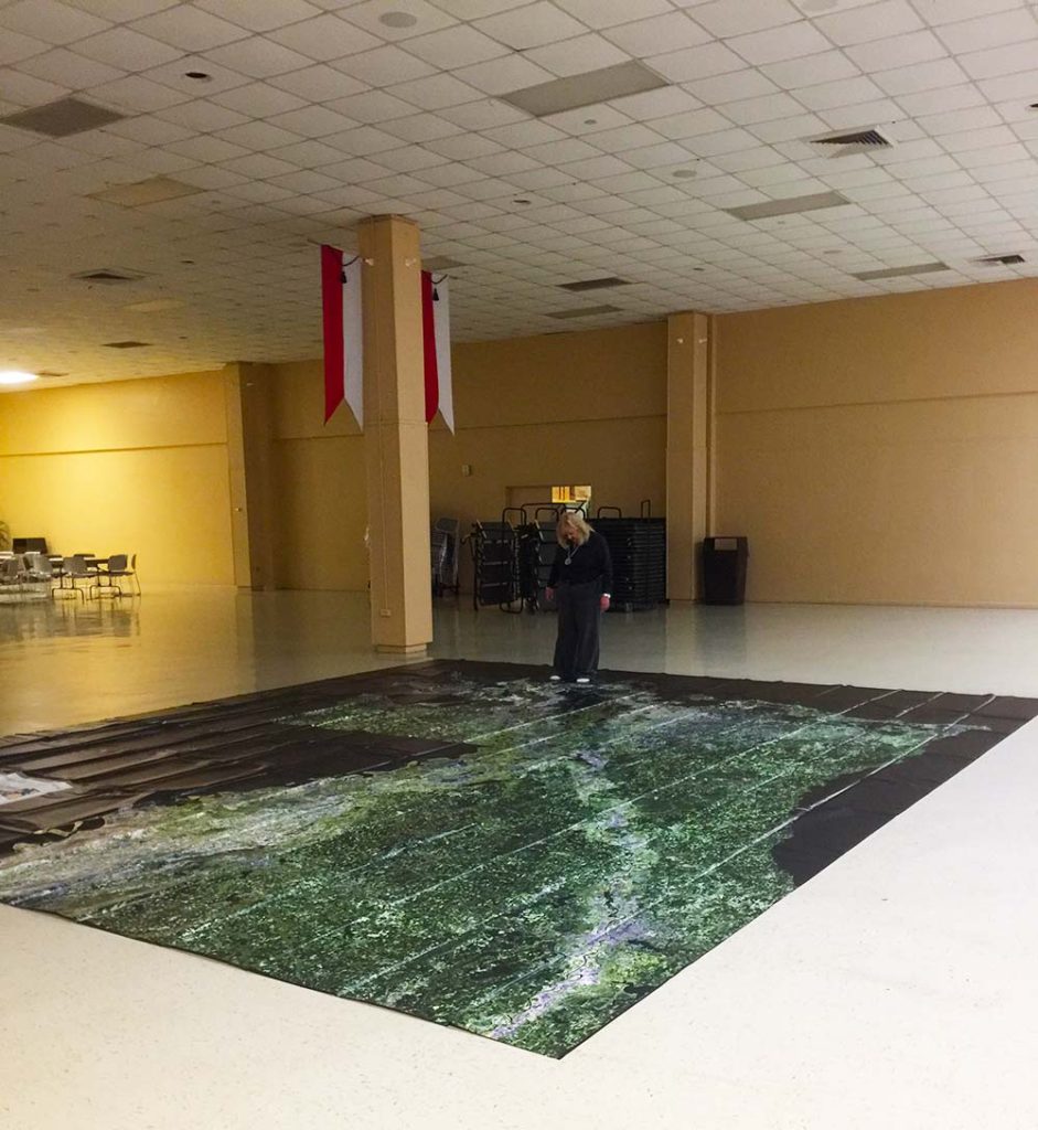
The Louisiana Floor map is a 16ft x 20ft map of Louisiana showing waterways, cities, topography, latitude and longitude lines and coastal land loss and restoration.
New curriculum will be tailored to the map to teach geography lessons, history, mapping, wetlands value and loss, barrier islands, water quality, etc. Curriculum is expected to be completed in September of 2018. Once curriculum is complete, half-day teacher trainings will be conducted on the topics mentioned above. Teachers who attend a workshop will be able to request to check out the map for their school.
The map will also be available to libraries and used by BTNEP at festivals, conventions, symposiums, additional workshops and meetings. The goal of the map is to increase awareness among educators about coastal issues and land loss. BTNEP wants to give teachers more access to tools for improved Louisiana coast and wetlands education. BTNEP also wants to give kids fun, structured learning experiences related to the value of the wetlands.


